SATGEO VINAYAK
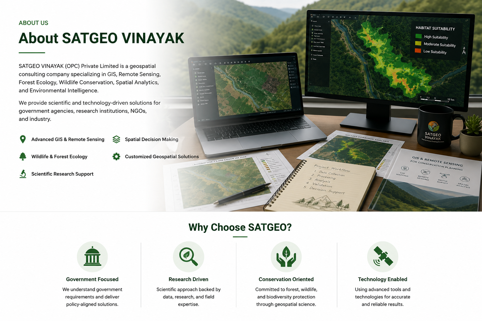
SATGEO VINAYAK delivers advanced GIS, Remote Sensing, Forest Ecology, Wildlife Research, WebGIS, Drone Mapping, and Environmental Intelligence solutions for government agencies, research institutions, NGOs, and private organizations across India.
Accurate geospatial mapping for planning, resource management, and decision support.
Satellite image processing, land use mapping, and environmental monitoring.
Habitat suitability, biodiversity assessment, and conservation planning.
Interactive web mapping portals and GIS dashboards for real-time visualization.
Advanced spatial modelling, suitability analysis, and geostatistical workflows.
High-resolution UAV surveys, orthomosaics, DEM generation, and 3D mapping.
Your cart is currently empty!
Notifications